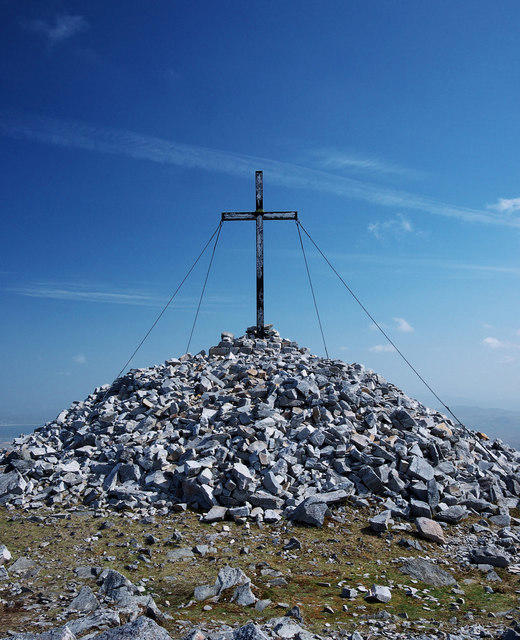
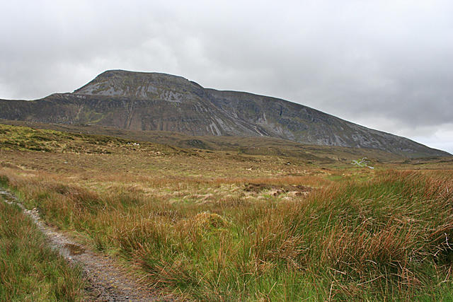
![Muckish [An Mhucais]](https://cdn.walkmates.com/hill-photos/hill-placeholder.jpg)
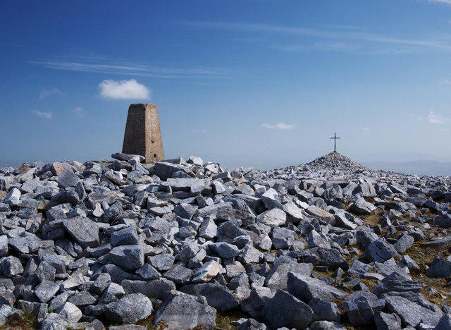
![C0028 : Muckish Triangulation Pillar [detail]](https://cdn.walkmates.com/gallery-images/565253d07ba2426b8ea42de6cf4ccd03.jpg)
Upland / Hill
OutAndBack
Medium
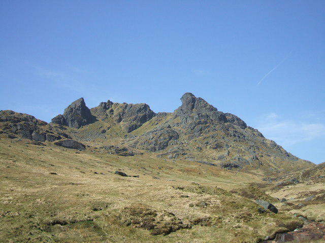
Goatfell from Cladach
PaulWalkmates
Walk organiser

![Muckish [An Mhucais] location map](https://cdn.walkmates.com/hill-maps/muckish-[an-mhucais].png)
No comments yet. Be the first.